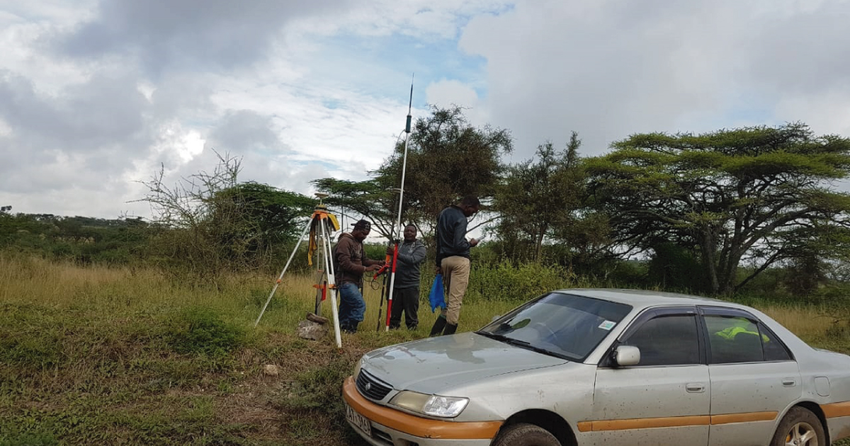
A Topographical Survey provides detailed and accurate information about the physical features of a site. At Infinity Geotechnical Services Kenya, our topographical surveys capture essential data, including natural landforms, man-made structures, elevation changes, and boundaries. This information is critical for site planning, design, and development, ensuring that all aspects of the terrain are considered before construction begins. Using advanced surveying equipment, we create precise topographic maps that help guide engineers, architects, and project managers in making informed decisions.
18 Oct